
 EN
EN
 ar
ar bg
bg hr
hr cs
cs da
da nl
nl fi
fi fr
fr de
de el
el hi
hi it
it ko
ko no
no pl
pl pt
pt ro
ro ru
ru es
es sv
sv tl
tl iw
iw id
id lv
lv lt
lt sr
sr sk
sk sl
sl uk
uk vi
vi et
et hu
hu th
th tr
tr fa
fa ms
ms hy
hy ka
ka ur
ur bn
bn mn
mn ta
ta kk
kk uz
uz ku
ku
gauge water level
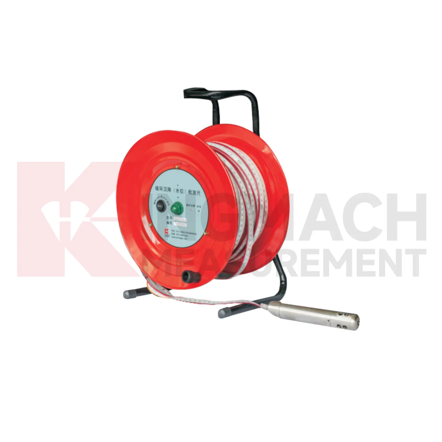
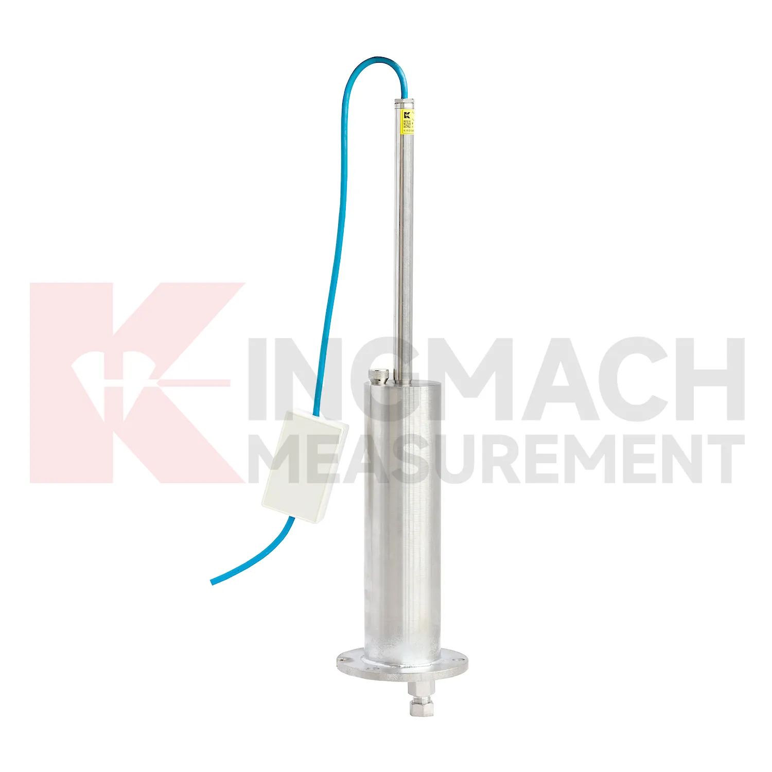
The JMCJ-1003/1005 magnetic ring settlement water level gauge gives Kingmach gauge water level a manual borehole method for layered ground. It measures underground settlement by electromagnetic induction between the probe and magnetic rings, and it measures water level by conductivity when the probe contacts groundwater. The instrument uses a probe, reel, tape, battery, audible or visual indication, and magnetic rings placed at known depths. Published depth options include 30 m, 50 m, and 100 m, with plus or minus 1 mm accuracy, 9V battery power, maximum current of 50 mA, a probe about 17 cm long and 3 cm in diameter, and -20 degrees Celsius to 60 degrees Celsius operating environment. This product is useful where the engineer needs to know which soil layer compressed, not just how much the surface moved. A careful log should keep borehole number, ring depth, water depth, reference mark, operator, weather, and construction activity together for each visit.
Application of gauge water level
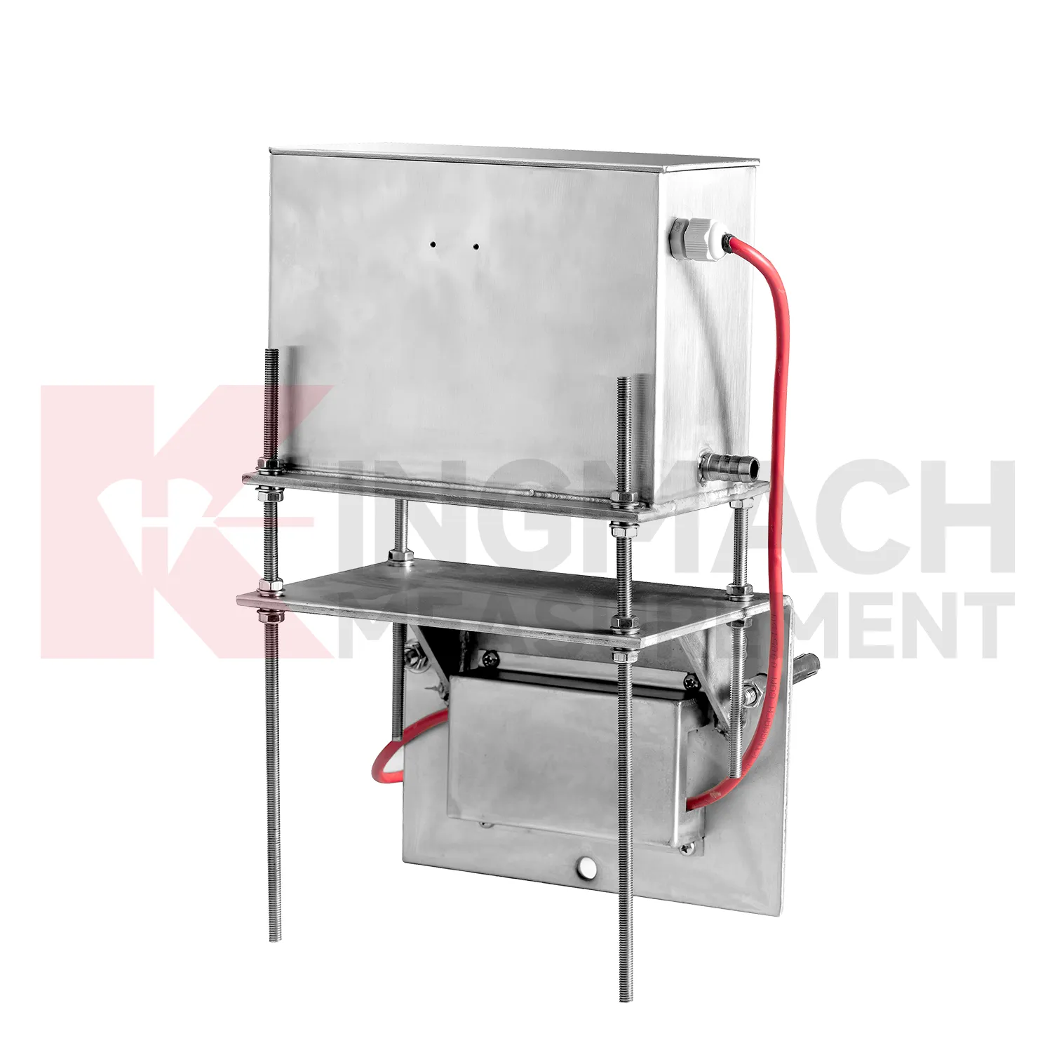
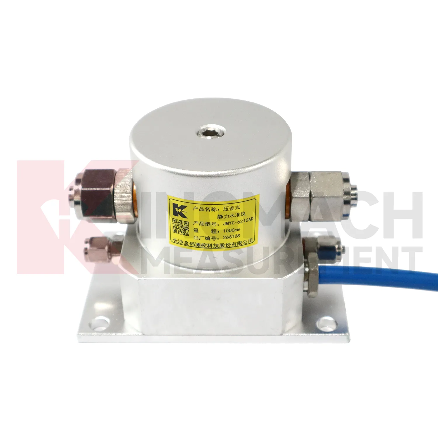
In dam monitoring, gauge water level are used for long-term observation of dam body settlement, gallery deformation, foundation movement, and vertical change near water-control structures. This work has a slow rhythm: reservoir level, seepage, rainfall, seasonal temperature, and consolidation history may all affect the curve. Kingmach JMQJ-62XXADT gives micro range hydrostatic measurement with IP68 protection and 0.01 mm resolution, while JMYC-62XXAD provides wider 500 mm to 4000 mm ranges for larger vertical displacement. JMDL-62XXADT can form a multi-point hydrostatic leveling network when several positions must be compared from one reference. A dam layout should treat the reference location, tube route, cabinet position, cable protection, and access path as part of the measurement system. During operation, engineers should review settlement data with reservoir records, seepage flow, piezometer behavior, inspection notes from galleries, and downstream observation results. The goal is to see whether a slow trend matches expected consolidation or whether it appears near a structural joint, foundation zone, or water level event. Good records make annual dam-safety review more traceable and reduce confusion when readings are checked years later.
The future of gauge water level
Future gauge water level reports will need to be clearer for both engineers and owners. A useful settlement report should show baseline date, latest value, cumulative settlement, rate of change, reference point status, water level condition, construction stage, and recommended inspection action. It should also include whether the reading was manual, remote, magnetic ring based, hydrostatic, or embedded single-point measurement. Kingmach products generate different kinds of settlement information, so reporting should preserve that context instead of flattening every value into one table. For high-risk projects, trend graphs should sit beside field notes and photos. That makes it easier to decide whether a movement is normal consolidation, reference disturbance, water-related change, or a condition that needs immediate review. The practical goal is to keep settlement data understandable after the original installation crew has left, so owners can compare old and new readings without reconstructing the field history from memory. The same record should remain readable for designers, contractors, owners, and maintenance teams, because settlement monitoring often continues long after the first construction report is finished.
Care & Maintenance of gauge water level
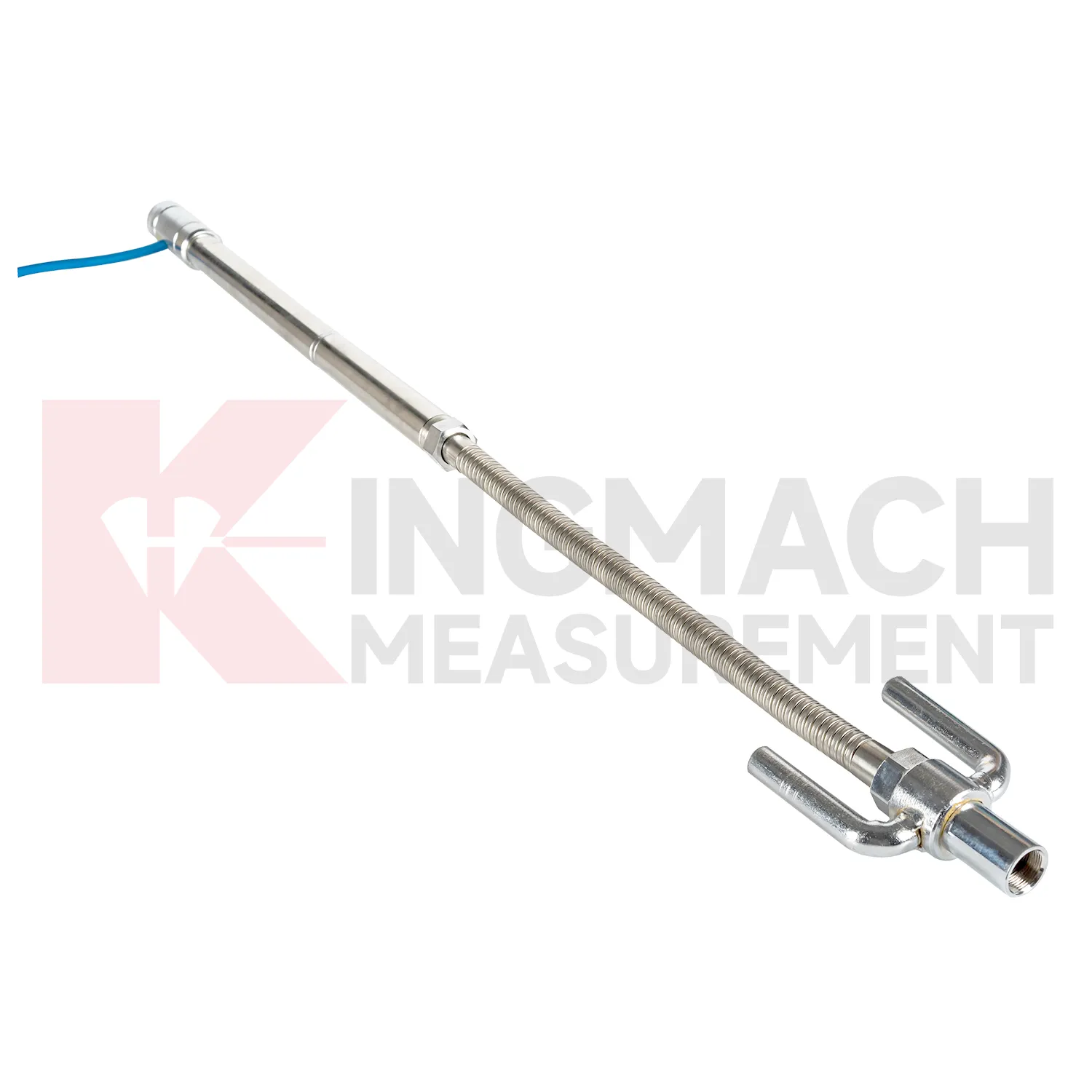
Care and maintenance of gauge water level should begin before the first sensor is installed. Confirm whether the location needs an embedded single-point gauge, a hydrostatic leveling sensor, a wide-range differential pressure system, or a magnetic ring settlement water level gauge. Kingmach JMDL-47XXAT covers 100 mm to 400 mm embedded ranges, while JMYC-62XXAD covers larger 500 mm to 4000 mm hydrostatic ranges. Choosing the wrong range can shorten the useful life of the point or hide small early movement. The project file should record model, range, structure name, point elevation, expected movement direction, reference point, cable or tube route, and first stable value. During later checks, compare actual movement with the construction stage and nearby instruments. If a value approaches the end of travel, plan verification before the sensor saturates. Range management is maintenance because it protects the continuity of the settlement record.
Kingmach gauge water level
gauge water level become most useful when they are part of a disciplined data chain. The sensor body is only one part of the record. Reference point, water tube route, cable label, borehole number, ring depth, bus address, platform unit, baseline, and inspection note all shape whether the final curve can be trusted. Kingmach products support both manual reading and automated acquisition, so the same project may combine field tape readings, RS485 data, bus modules, and software reports. During commissioning, each channel should be checked against the physical point. During maintenance, data gaps should be compared with power, communication, weather, and cabinet work. This makes settlement monitoring less mysterious and more useful to the people who must act on it. When those details are settled before installation, the sensor has a much better chance of producing a reliable curve throughout the project life. When those details are settled before installation, the sensor has a much better chance of producing a reliable curve throughout the project life.
FAQ
Q: How should gauge water level be maintained?
A: Check reference points, tubes, cables, seals, settlement plates, anchors, probes, cabinets, and channel names at planned intervals.
Q: Should zero values be reset casually?
A: No. A reset can hide real settlement. If a reset is necessary, record the reason, time, old baseline, and new baseline.
Q: What data should be reviewed with settlement?
A: Rainfall, groundwater, excavation depth, filling stage, traffic loading, tilt, displacement, strain, and load data can all help explain settlement changes.
Q: What signs suggest a data issue?
A: Flat lines, sudden jumps after maintenance, impossible values, repeated communication gaps, or disagreement with nearby points may indicate instrument or data-chain problems.
Q: What makes a settlement report useful?
A: A useful report includes point location, model, range, baseline, reference point, latest reading, cumulative settlement, rate of change, and field notes.
Reviews
Christopher Martinez
Very satisfied with the readouts & data loggers. User-friendly interface and supports multiple sensor inputs.
James Thompson
The tiltmeters and accelerometers are very sensitive and provide precise data. Perfect for our structural health monitoring system.
Latest Inquiries
To protect the privacy of our buyers, only public service email domains like Gmail, Yahoo, and MSN will be displayed. Additionally, only a limited portion of the inquiry content will be shown.
Harper***@gmail.comIndia
Dear Sir, we are planning to procure a complete monitoring system including strain gauges, tiltmeter...
Amelia***@gmail.comSingapore
Hello, I am looking for visualization software for monitoring system data analysis. Please let me kn...
Related product categories
- Wide-Range Differential Pressure Hydrostatic Level Sensor
- Inductive Frequency-Modulated Hydrostatic Level Sensor
- water level gauge
- water gauge water level gauge
- water gauge level
- gauge water level
- Magnetic Ring Settlement Water Level Gauge
- Optical Deflection Monitor
- Tilt Sensor
- Deflectometer
- Micro Range Hydrostatic Level Sensor
- Single-point Settlement Meter