
 EN
EN
 ar
ar bg
bg hr
hr cs
cs da
da nl
nl fi
fi fr
fr de
de el
el hi
hi it
it ko
ko no
no pl
pl pt
pt ro
ro ru
ru es
es sv
sv tl
tl iw
iw id
id lv
lv lt
lt sr
sr sk
sk sl
sl uk
uk vi
vi et
et hu
hu th
th tr
tr fa
fa ms
ms hy
hy ka
ka ur
ur bn
bn mn
mn ta
ta kk
kk uz
uz ku
ku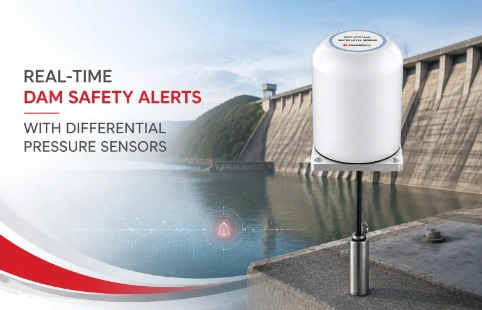
Real-Time Dam Safety Alerts with Differential Pressure Water Level Sensors
Key Takeaways An alert chain needs more than a sensor: define field in...

In-Place Inclinometers for Long-Term Deformation Monitoring
In-place inclinometers are installed in boreholes to continuously measure lateral movement at multiple depths. They consist of a string of sensors, typically accelerometer-based, connected by rigid rods or cables. Once set up, the system logs data automatically—no need for manual surveys. This makes them practical for sites where frequent readings are required or access is limited. Kingmach supplies these systems with custom segment lengths and sensor ranges to match the borehole depth and expected deformation. Common uses include monitoring the stability of landslides, deep excavations, dams, and retaining walls. The data helps engineers decide when to take corrective action before failures occur. Compared to portable inclinometers, in‑place units reduce labor and capture subtle changes that might be missed between periodic readings. Installation requires a grooved casing; the sensor string is lowered and positioned so each wheel assembly aligns with the grooves. From there, data is sent to a data logger or cloud platform for real‑time viewing.
Technical Detail
Kingmach’s in‑place inclinometers are built around a modular sensor string concept. Each sensor node measures tilt along one or two axes, and multiple nodes are linked together to span the full depth of a borehole. The sensors use MEMS accelerometers, which offer a good balance of accuracy and long‑term stability. Measurement ranges typically cover ±15° to ±30°, which is enough for most geotechnical applications. Resolution and repeatability are engineered to meet the requirements of deformation monitoring standards, so you can trust the trend data over months or years of operation. The string is assembled based on site specifications: you choose the number of sensors and the spacing between them. Kingmach’s team can help with a layout that focuses on expected failure zones—for instance, a closer sensor spacing near a sliding surface. The system is powered by an external source or battery, and the digital output (usually RS‑485 or similar) connects to data loggers. Some configurations support wireless transmission for remote sites. One practical advantage is the continuous record. Instead of spot measurements every few weeks, you get a near‑real‑time picture of how a slope or wall is moving. This is especially useful during construction activities where deformations can accelerate suddenly. Many users set up alarm thresholds to get automated warnings. From a deployment standpoint, the instruments are designed to survive in wet, harsh environments. The stainless‑steel housings and watertight connections help ensure reliability. Field experience shows that regular maintenance checks on the cabling and logger connections keep the system running smoothly. Kingmach supports projects with pre‑assembly testing, documentation, and site commissioning assistance. Because each project has different borehole diameters, groundwater conditions, and monitoring goals, the systems are often tailored. If needed, the team can advise on accessories like top‑of‑borehole mounting frames, cable protection, and data management software. The goal is straightforward: provide a robust dataset that helps engineers understand ground behavior and make informed decisions.
News
Key Takeaways An alert chain needs more than a sensor: define field in...
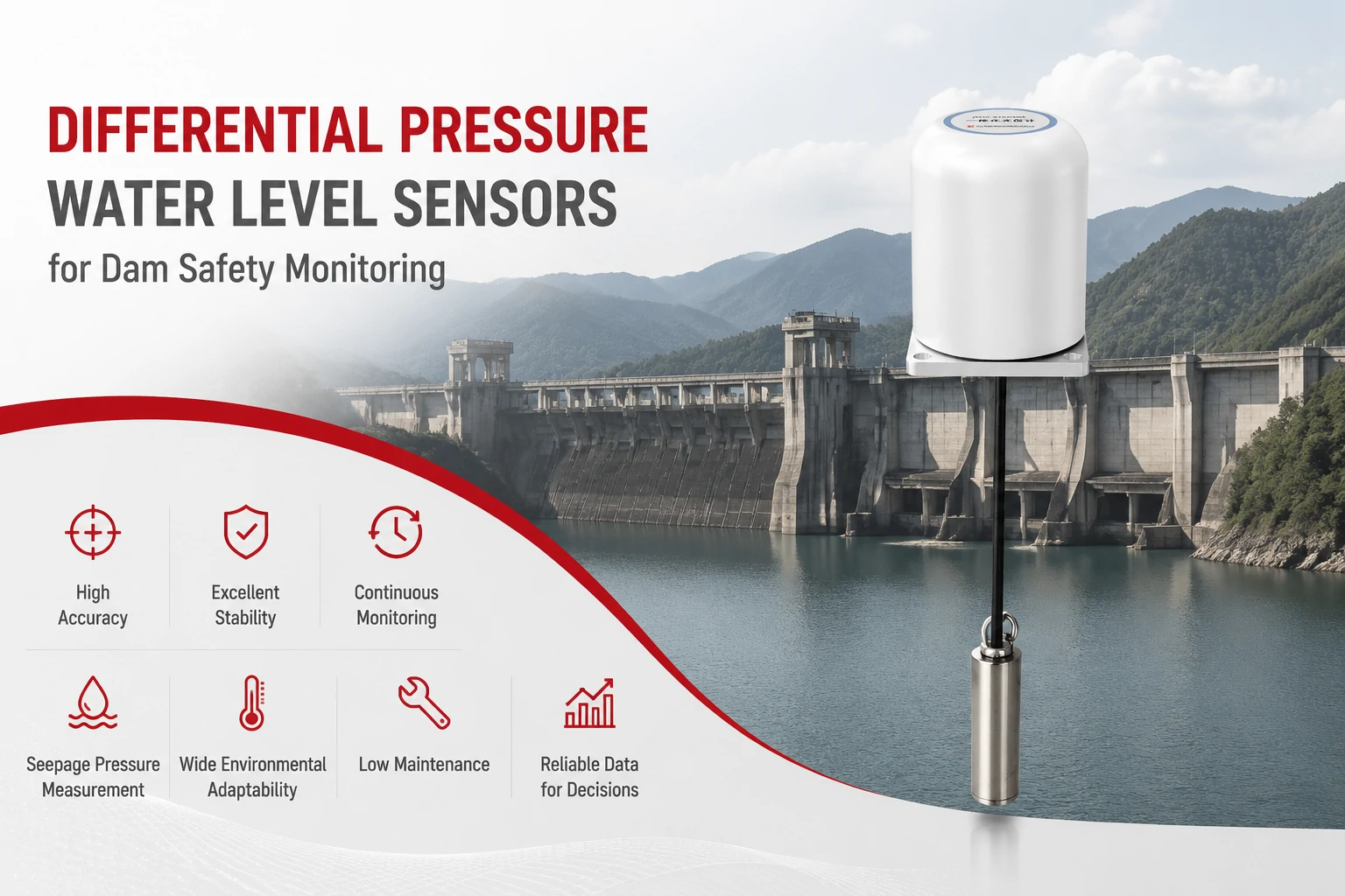
Key Takeaways The strongest fit is usually a confined, submerged, or s...
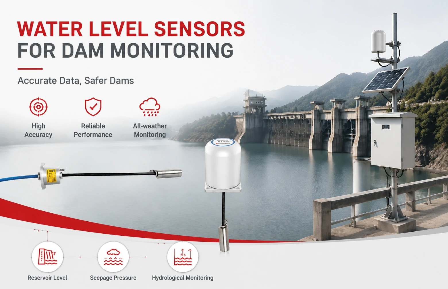
Kingmach Water Level Sensors for Dam Monitoring: A Buyer's Guide to Differential Pre...
Products
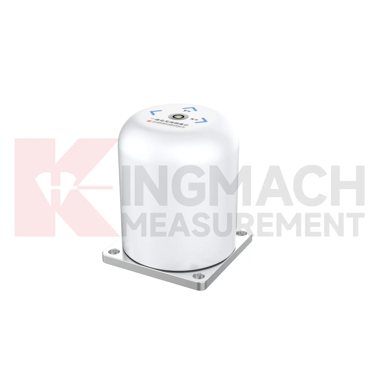
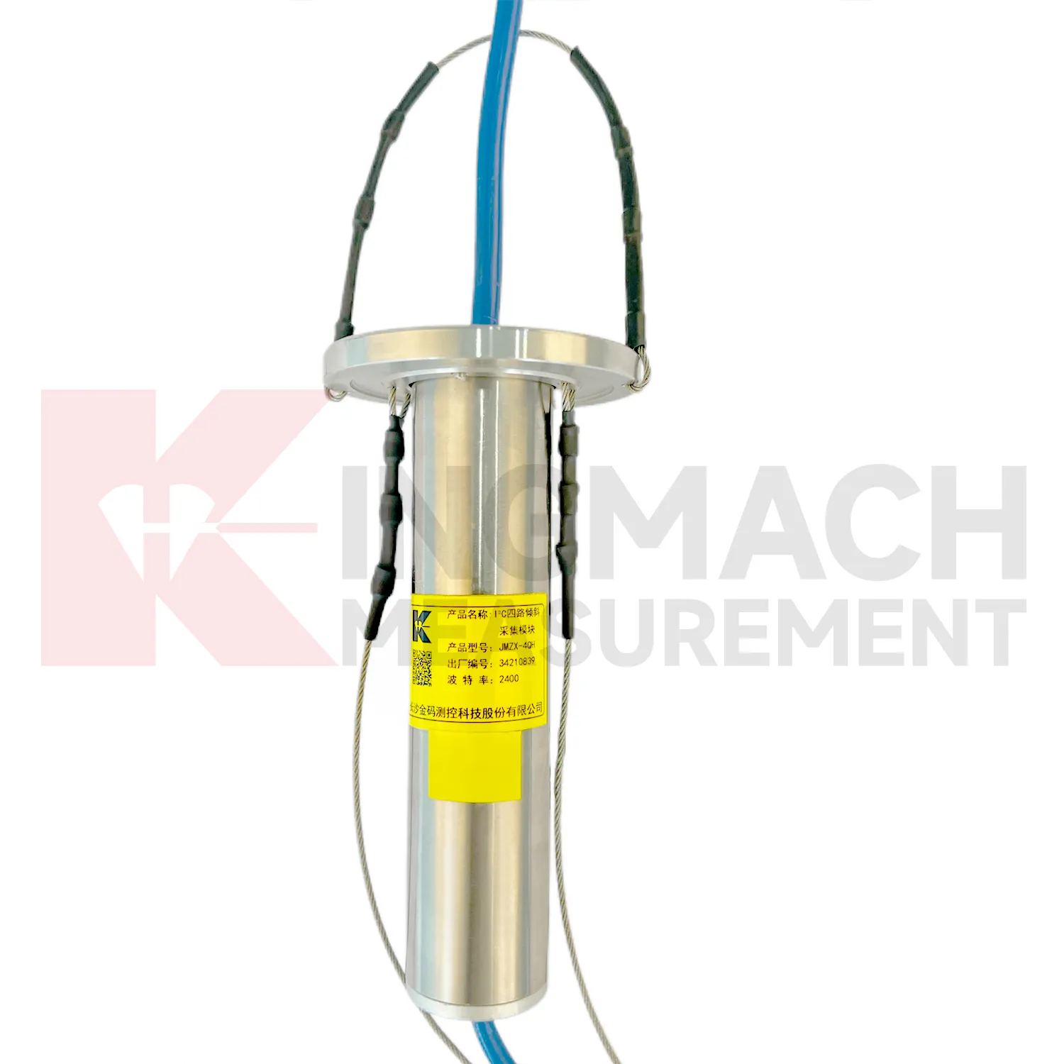
I²C 4-Channel Inclination Acquisition Module JMZX-4QH
View Details
FAQ
Portable inclinometers use a single probe that an operator lowers into a casing to read tilt at marked intervals. In‑place systems replace that probe with a fixed string of sensors left in the borehole. This means you get continuous, automated readings without sending a crew to the site—saving time and reducing human error.
They work well where you need ongoing, long‑term deformation data: landslide slopes, deep excavation pits, tunnel portals, dam abutments, and retaining walls. Basically any buried structure where lateral movement is a concern.
It depends on the geology and what you’re monitoring. In homogeneous soils you might space sensors every 2–3 meters. If there’s a known shear zone, you can cluster them closer—every 0.5 to 1 meter—to capture detailed movement. Kingmach can review your site data and suggest a layout.
Installation is similar to putting in any downhole instrument: you need a correctly installed grooved casing that matches the wheel base of the sensor assembly. The string is assembled segment by segment and lowered carefully. Most geotechnical contractors can handle it, and we supply detailed installation guides and support.
Not much. Main things are checking the logger and power supply periodically, making sure cables aren’t damaged, and occasionally verifying the sensors against a portable inclinometer if precision is critical. Lightning protection is recommended for surface equipment.
Share your product type, target capacity, and application requirements. Our team can review the details and recommend a practical next step.
Related Keywords
If you are interested in our products or want to become our partner.
Please leave your contact information, our team will contact you as soon as possible.
Mail: [email protected]
Contact Us: +8613808434127
Address: No. 188 Tongzipo West Rd, Changsha, Hunan, China